A Faster Way to Share and Document Construction Site Photos

Construction surveying lives or dies on clear, accurate visuals getting to the right people fast. Site surveys, progress documentation, as-built conditions, field observations: the job depends on moving what you see on the ground into the hands of whoever needs it, without a lot of fuss.
Lately at SeekBeak we’ve heard the same thing from construction and surveying teams:
They don’t need specialized software packed with every geospatial feature most projects never touch.
They need something practical and quick that the whole team can actually use.
There are plenty of survey-specific platforms, and many are genuinely powerful. They’re also expensive, complex, and tied to workflows not every project needs.
SeekBeak fills a different gap. It’s flexible and affordable, and it helps construction teams get images online, annotate them, and share context without the hassle. Teams already use it for weekly site updates to stakeholders, flagging deficiencies, running virtual walkthroughs, and documenting conditions like water tables before they get covered up.
If your team needs a fast way to turn survey images into something interactive and easy to explore, this post walks through how SeekBeak fits that workflow.
The surveying tools landscape, and why it’s overwhelming
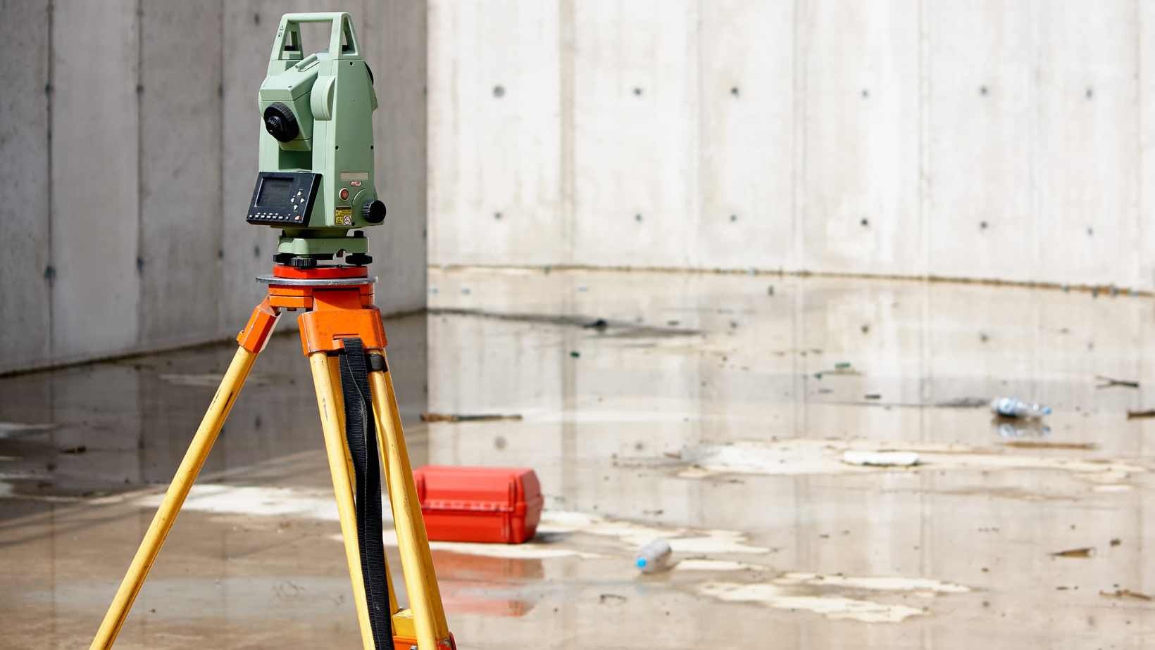
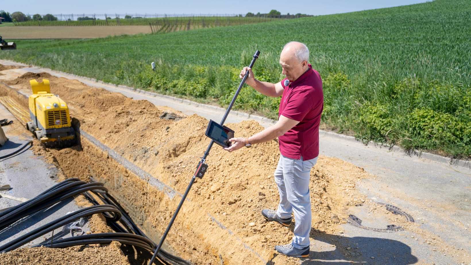
Traditional survey tools are excellent when you need everything they do. Laser scanning, measurement engines, point cloud integrations, mapping layers, and geolocation precision are essential for certain scopes of work.
But not every construction surveying task needs that level of sophistication.
A lot of day-to-day work looks more like this:
Capturing a set of 360° or flat images on-site
Documenting existing conditions
Marking issues
Sharing progress with a project manager
Communicating site constraints
Showing as-built discrepancies
Providing visual context to remote teams or clients
For tasks like these, heavyweight survey software is often:
more than you need
too slow to adopt
too costly for what the job requires
hard for non-specialists to navigate
SeekBeak isn’t here to replace specialized survey tools. It’s built for the many cases where a team just needs to share clear, structured visuals quickly.
Where SeekBeak fits into construction surveying workflows
SeekBeak gives construction teams a simple way to take the images they already capture (from a 360 camera, drone, DSLR, or smartphone) and turn them into an interactive, organized, easily shareable environment.
Here’s how it supports survey work without the complexity.
1) Upload images quickly, even from the field
Construction surveying happens in demanding environments on tight timelines. SeekBeak’s upload process is built for speed.
Here are the steps:
Drag in your photos
Name and group them
Publish immediately
Share a link with your team
There’s no specialized hardware, no app to install, and no real training curve.
Field crews can upload on-site, project managers can review remotely, and stakeholders can access everything instantly.
2) Add notes, hotspots, and annotations for context
A survey image is only useful if it tells the full story. SeekBeak’s hotspot and annotation tools make that easy:
Mark areas of concern
Highlight measurements
Attach reference documents
Add notes for the project manager or estimator
Create step-by-step explanations of what was found
Whether you’re capturing pre-construction conditions, site safety issues, structural observations, or progress checks, showing context visually cuts down on miscommunication and keeps everyone working from the same picture of the site.
3) Build an interactive virtual tour of the site
Instead of sending a folder of photos and hoping everyone understands how they connect, SeekBeak lets you build a simple virtual walkthrough of the site:
Link scenes together
Navigate areas intuitively
Show how spaces relate
Offer a 360° view for anyone off-site
No plug-ins, no heavy software, and no clunky viewer.
Clients, architects, remote supervisors, consultants, and trades can “walk through” the site before they ever set foot on it.
4) Keep everything organized and version-controlled
Construction projects generate a huge amount of visual documentation. SeekBeak helps teams keep it all sorted by project, building area, date, floor, phase, survey type, or whatever labels make sense.
Collections and scene grouping let you build clear, labeled structures so your team can always find the right image.
This is especially helpful for:
comparing past vs. present conditions
showing before-and-after work
tracking installations
documenting deficiencies
cataloging inspections
And because everything is cloud-hosted, you never lose track of which version is current.
5) Use any camera
Many construction survey platforms require specific equipment or proprietary capture tools. SeekBeak supports everything from:
360° cameras
phones
drones
DSLRs
compact cameras
panoramic files
standard JPEGs
If your device outputs an image, SeekBeak can handle it. That keeps your workflow flexible and affordable, especially for fast-moving field teams.
6) Make survey documentation accessible to anyone
One of the biggest challenges in construction is getting information to everyone who needs it, from stakeholders to subcontractors to the managing team.
SeekBeak is built for universal usability. You don’t need an account to view, there’s nothing to download, and it works on all devices.
If someone can click a link, they can navigate a project. That keeps communication clear and consistent.
Want to try this in your construction survey workflow?
If your team wants a faster, clearer way to share construction survey images and field documentation, SeekBeak is worth a look.
You can build your first interactive scene in minutes, no training required. And if you do want a walkthrough, our YouTube channel has tutorials to help you get more out of the tool.